Our Services
We offer a variety of services for all of your digital recording needs, from small tasks to larger projects.
Database and Data Management
Database management
The design and integration of project databases
Survey data collection apps
Digitisation
Digitising thin slides (e.g. for petrography)
Publication quality artefact photography
GIS
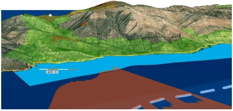
We offer various GIS services for projects big and small. We specialise in traditional mapping, vectorising, analysing, and visualising data in both 2D and 3D.
Map making and data visualisation
3D GIS, including the incorporation of 3D models with 2D data and databases
Statistical and spatial analysis
Photogrammetry & 3D Modeling
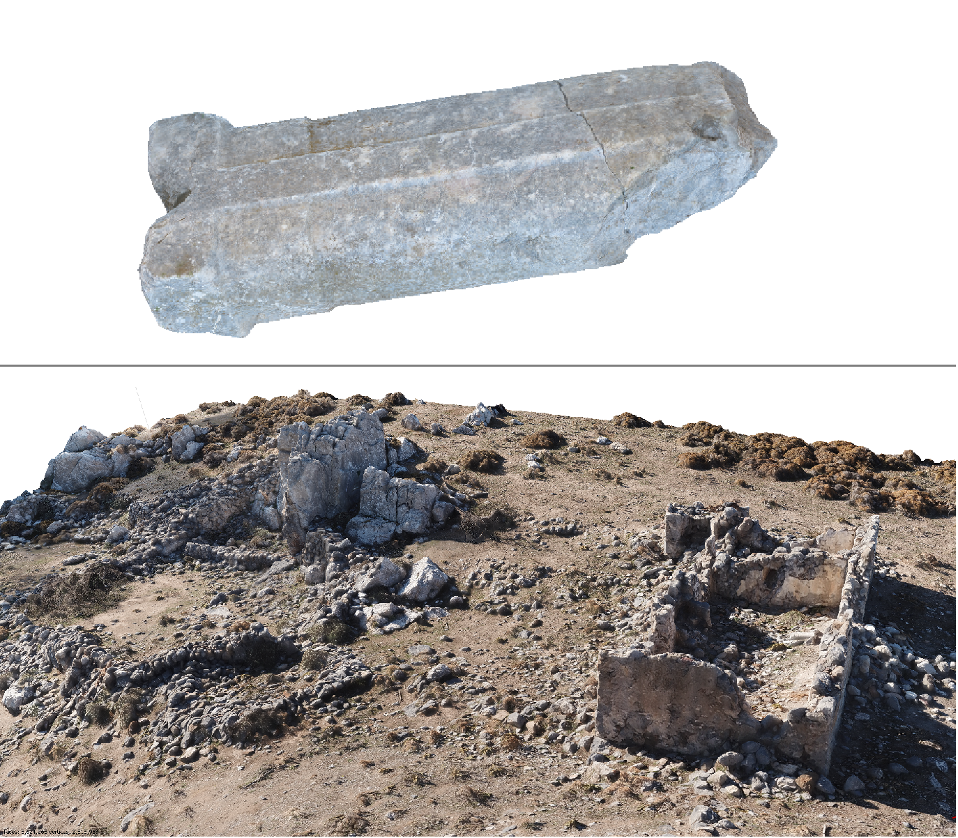
High definition and highly accurate 3D models of artefacts, burials, features and architecture, and anything else required.
Excavation or survey data
Create high resolution 3D models for objects, buildings, and landscapes
Documenting heritage and creating 3D documentation for museum collections - including for the implementation of VR
Creating personal VR and AR experiences
Drone Survey
Drone survey of the landscape of points of interest, creating Digital Elevation Models, Orthomosaics and 3D models.
Topographic Mapping
AEC Survey


